 By Phyllis Domingo, REALTOR® · San Antonio Relocation Specialist · 6 min read
San Antonio's Howard W. Peak Greenway Trails System has grown to roughly 101 miles of free, paved, accessible paths along the city's creeks, with the 100th mile opened in February 2023. Here is how the network works, which sections are worth a first visit, and why it matters when you are choosing a neighborhood.
The headline number: 101 miles and counting
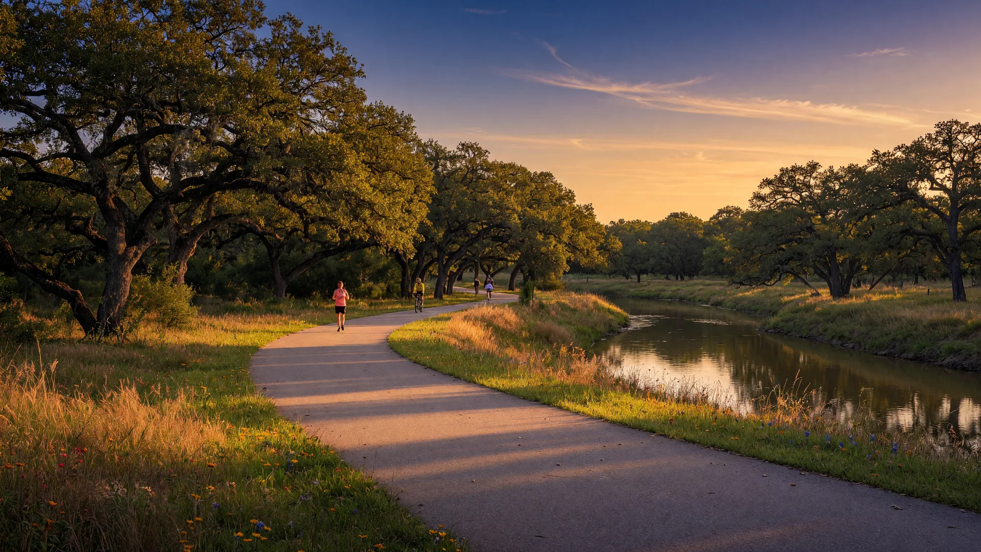
San Antonio's Howard W. Peak Greenway Trails System has grown to roughly 101 miles of developed, multi-use, paved paths along the city's creeks, a network the city describes as an emerald necklace around San Antonio. The city opened its 100th mile in February 2023, and new sections and trailheads have kept coming since.
Every mile is free and open from sunrise to sunset, built to be accessible: wide paved surfaces, gentle grades on most sections, and trailheads with parking scattered through the system.
Four corridors make up the network
The system runs along four major waterways: the Leon Creek Greenway, with more than 26 miles; the Salado Creek Greenway, whose north segment alone tops 20 miles; the Westside Creeks, closest to downtown inside Loop 410; and the Medina River Greenway on the south side.
Because the corridors link parks, schools, and neighborhoods, a weekend ride can string together miles of green space without a single traffic light. The whole system protects around 1,700 acres of creekside open space.
- Leon Creek Greenway: 26-plus miles connecting Camargo Park, Levi Strauss Park, and Rodriguez County Park.
- Salado Creek Greenway: north and south segments totaling more than 30 combined miles.
- Westside Creeks: the most convenient greenway loop for downtown neighborhoods.
- Medina River Greenway: the south-side corridor with river views and wilder scenery.
Trailheads worth knowing
The system has more than 80 trailheads and neighborhood connections, from major parking lots to small entry points in residential areas. Camargo Park at 5738 Castroville Road is a popular Leon Creek start, and Southside Lions Park on Pecan Valley Drive opens onto the Salado Creek section.
Most trailheads are simple neighborhood access points, so the closest one to your house is usually the best one to use first.
A weekend on the trail, honestly
A realistic first outing: park at Camargo Park, walk or ride a few miles along Leon Creek, and be back at your car within the hour. The long game is slower and better: pick one corridor and work it in sections, adding a few miles each weekend.
Dogs on leashes are welcome, and the paved surface handles strollers, bikes, scooters, and wheelchairs. In the Texas summer, mornings are the honest best of it.
Why trails belong in the neighborhood conversation
For families choosing where to land, the greenway system is a free test of daily life: how close is the nearest trailhead, how far does the nearest section run, and would it be part of your mornings or a destination you drive to.
I bring these trailheads into relocation tours all the time, because a house can look perfect on paper and still sit a ten-minute drive from the closest path. That small detail shows up in your real routine every week.
Test a trailhead before you test a neighborhood
The best part of this system is that it costs nothing to try. Pick a trailhead near any neighborhood you are considering, park, and walk it at the time of day you would actually use it.
Tell me which neighborhoods you are touring and I will point you to the closest trailhead on the same trip. Call or text me at 210-744-5478, or use the contact page. No pressure, just local knowledge.
Watch Phyllis on this topic
Sources
The numbers in this post were checked against these sources on October 8, 2026.